Eustace provides its clients a full range of services in the field of land surveying in support of their land development projects, as well as, to the local resident who wishes to understand the limits of their property. We provide services throughout Pennsylvania and New Jersey and are extremely knowledgeable of the complexities associated with working within the City limits of Philadelphia.
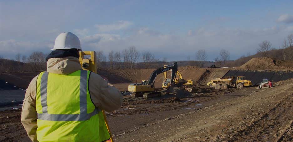
We keep pace with the constantly improving survey and geospatial technology by utilizing real-time Global Positioning System (GPS) and Global Navigation Satellite Systems (GNSS) via a Virtual Reference Station Network, Automated Data Collection Systems, and both Robotic and Reflectorless Total Station Systems to provide an efficient service and an accurate product for our clients.
With the knowledge and education of our licensed Professionals along with a support staff of experienced Party Chiefs, field personnel, and Surveyors Technicians, Eustace is able to provide our clients with accurate and timely services for any type of surveying project, large or small. Our experienced staff of Professional Land Surveyors and Engineers are able to quickly assess situations and make prompt decisions and field adjustments, as required, to respond to our client’s needs and avoid time-consuming or costly delays throughout the course of a project.